News & Press Releases
[Tourism Seminar] The third collaborative map with Kobe Municipal Subway is complete
2025.04.25
- notice
- Industry-Government-Academia Collaboration
- PBL lessons
- Utilizing in the local community
- Faculty of Modern Social Studies
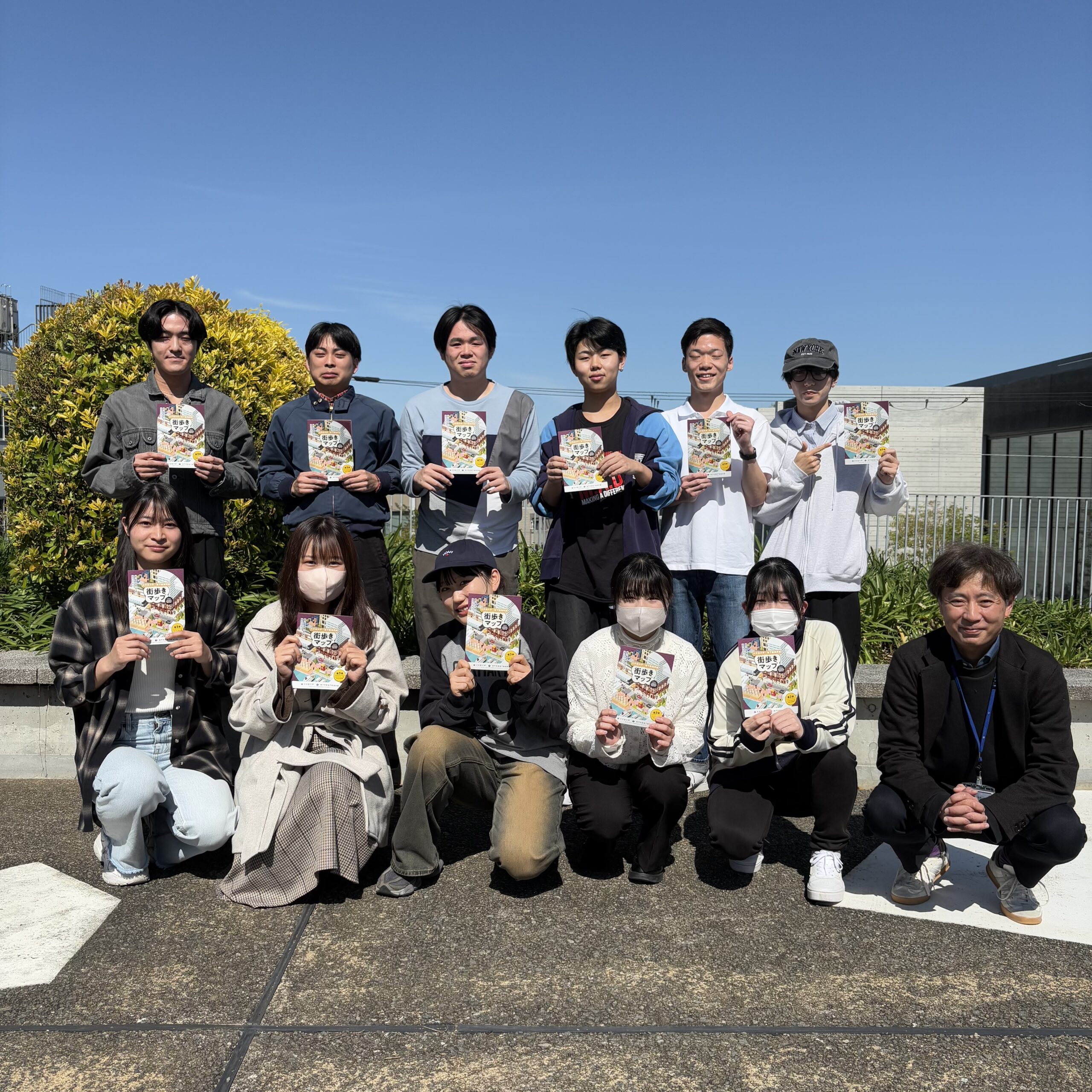
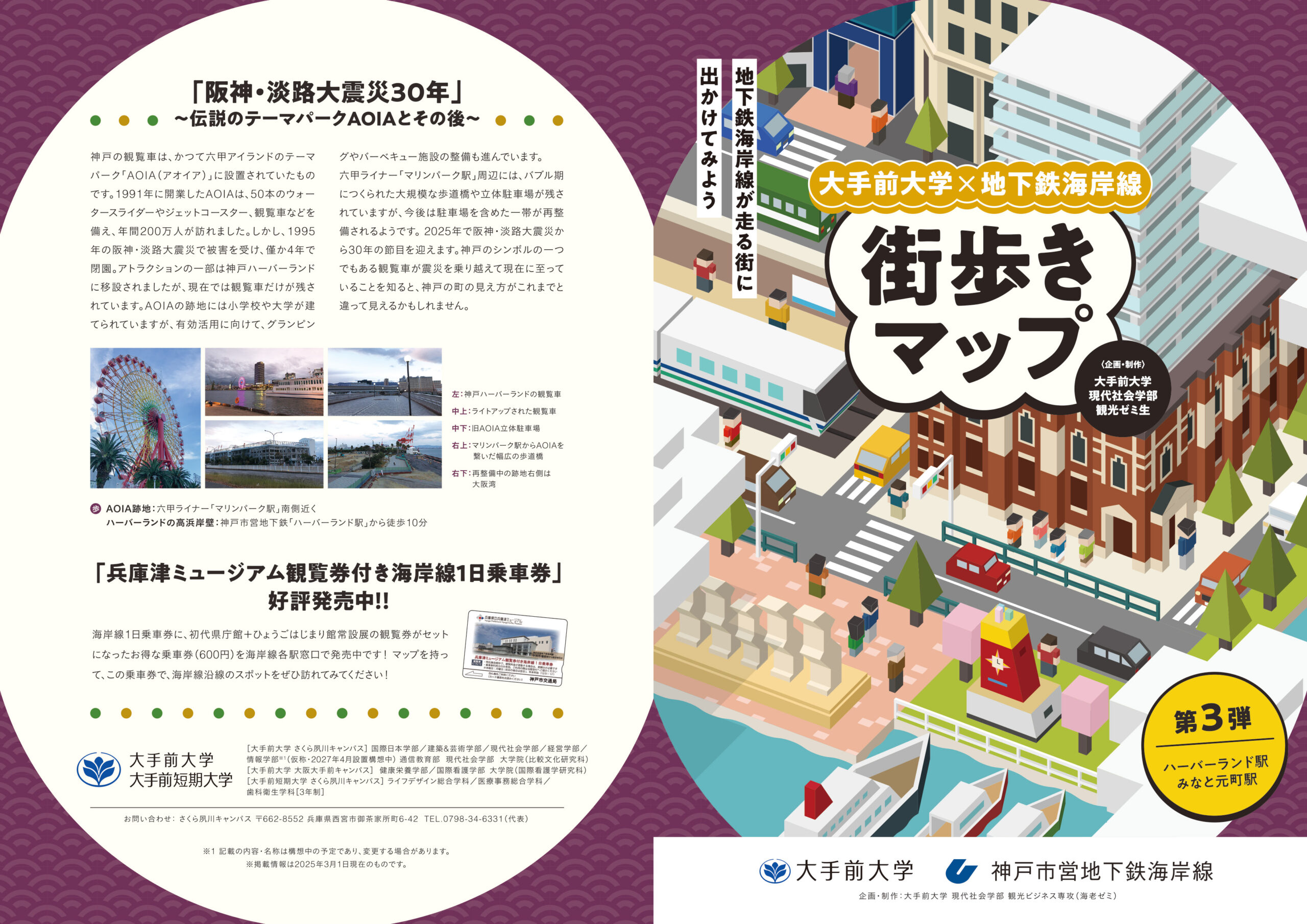
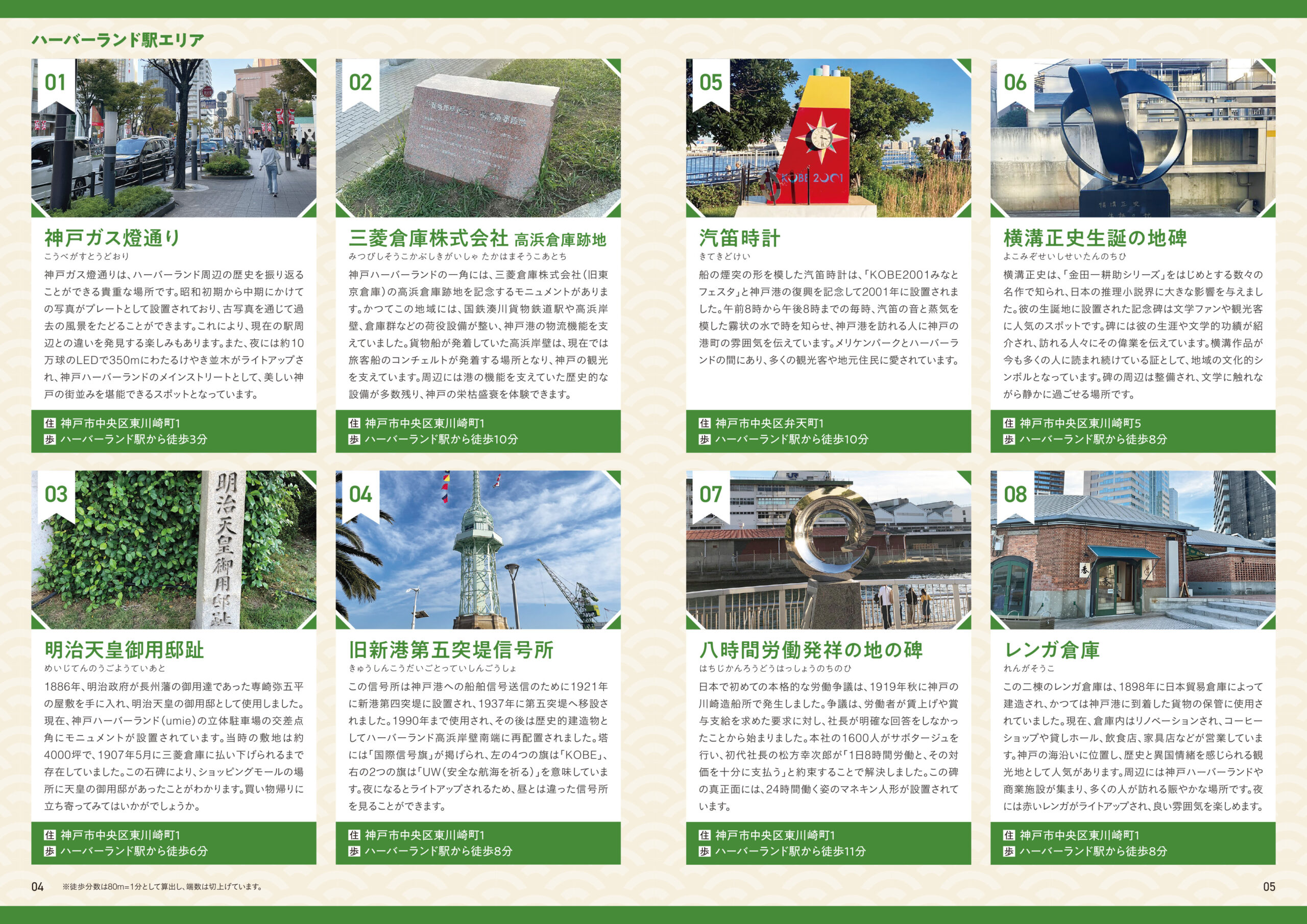
In the seminar of Professor Ryohei Ebi, majoring in Tourism and Regional Management at the Faculty of Faculty of Modern Social Studies, 15 students produced the "Otemae University x Subway Coastline Walking Map No. 3", a collaborative project with the Kobe Municipal Subway. Distribution has recently begun at each Kobe Municipal Subway station (excluding Tanigami Station).
This collaborative project, which began in 2022, has the theme of "Let's go to the town where the subway Kaigan Line runs", and this time it features monuments in the Harborland Station and Minato Motomachi Station areas. Seminar students conducted on-site research and even wrote the manuscript. It was created with the hope that people would learn about Kobe's history as a port city and the charm of the city through monuments that are usually overlooked. In addition to being distributed at each subway station, the Kobe City Transportation Bureau's website "KOBE CITY Line NAVI" offers PDF downloads (maps from the past two years are also available). On a spring outing, grab a map and enjoy sightseeing around the Kaigan Line Station.
*Maps from the past two years can also be downloaded from the following page.
City Walking Map (First Edition)
City Walking Map (2nd Edition)
(Source: Regional and Social Cooperation Office)